Land Construction Company
Geographic Information System | GIS Mapping, ArcGIS Services, GIS Remote Sensing, and GIS Data Conversions Services allow us to capture, store, analyze, and display geographic information. Various types of analysis can be performed and visually displayed through overlaying, merging, or joining different types of spatial and tabular data layers.
GIS is used in many aspects of county and city day to day business. It is used for planning and development, emergency services, public safety, property assessment, displaying school, fire, and voting districts.
Based on paper or electronic data either captured by our customers or otherwise collected, Land Construction Co., Technologies undertakes GIS data conversions and prepares electronic maps using Geographic Information Systems (GIS) technology.
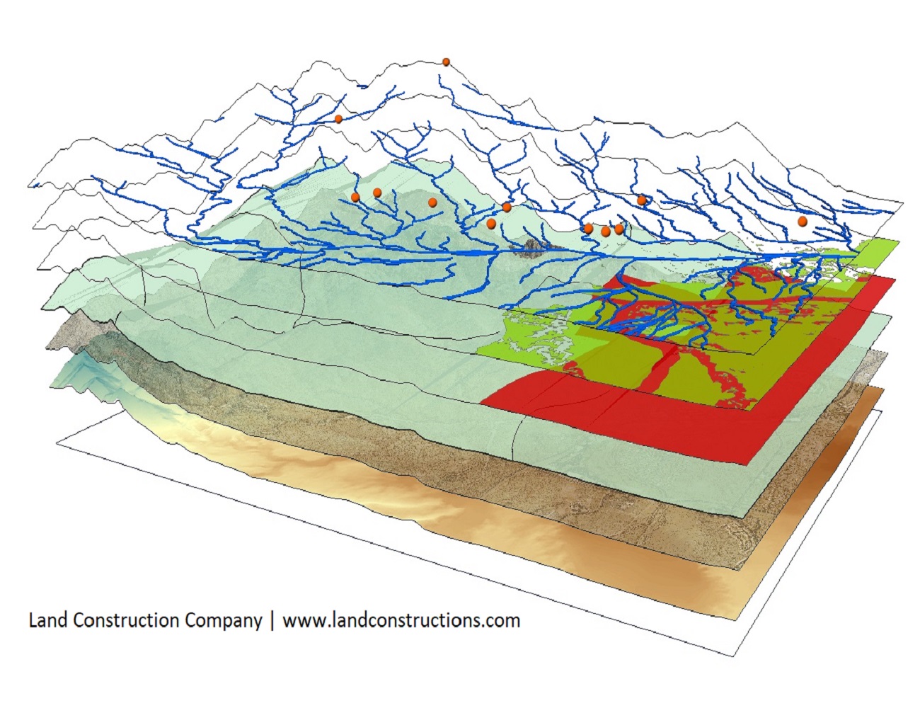
GIS Mapping and ArcGIS Services
Geographic Information System
Land Construction Co. | KSA Land Surveyors provides ArcGIS Services, GIS Remote Sensing services, GIS Mapping services, and GIS Data conversions Services. Our GIS services allow for the visualization of geographic data, analysis of spatial relationships, and efficient data management. GIS data conversions allow data from different sources to be merged in one common format, which allows for easy access, analysis, and utilization.
By integrating GIS, Computer-Aided Design (CAD), and Global Positioning Systems (GPS), using high-end GIS Mapping and GIS data conversions software, our GIS Services assist our customers in producing maps including contour maps, spatial maps, atlas maps, cadastral maps, thematic and zonal maps, landscape maps, environmental maps for host industries such as mining, utility sector, agriculture, petroleum pipelines, town planning, and other GIS Mapping companies and GIS Remote Sensing companies.
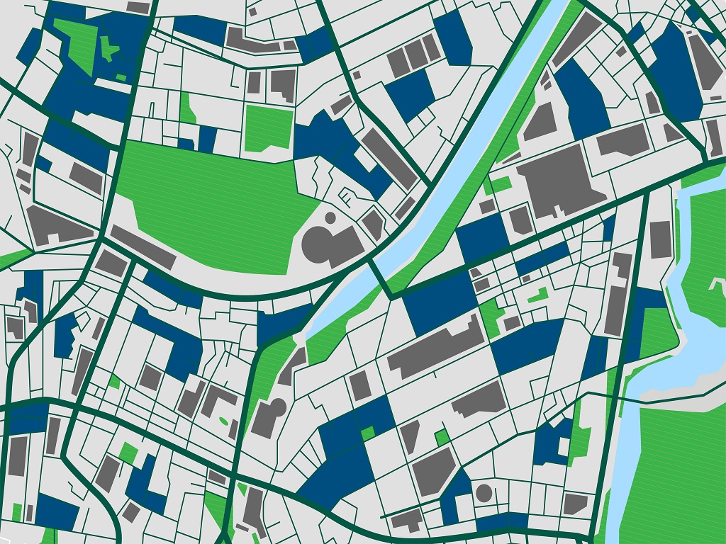
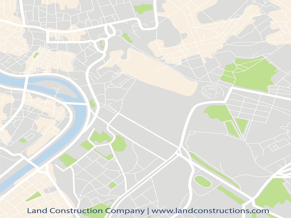
We offer Gis Mapping service throughout the Kingdom of Saudi Arabia to clients, including architects and Planning Consultants, utilities, Developers, Builders, and other local authorities. Land Construction Co. can provide GIS services to fully illustrate a variety of technical and geographic features. These features may include the analysis of local market influences, habitat constraints, transportation corridors, site selection analysis, and other issues of importance.
LCC also uses GPS technology to aid with site-specific data collection. We incorporate GIS to complement its commitment to providing excellent customer service. The majority of the LCC-KSALS staff is GIS/GPS capable and can respond quickly to all client needs. Maps created with ArcGIS software can be printed and used to support written documents or provide visuals for project meetings.
GIS Mapping and Data Conversion
Estate Mapping & Plan Design
We can help you visualize your assets more effectively by mapping them onto a Geographic Information System (GIS Mapping). Using ArcGIS software we digitize your land titles onto the latest Gis Survey maps and create an associated table of contents to visually represent your landholdings.
Many layers can be digitally created to provide a full database of company assets – ownership, tenancies, utilities, easements, and so on. The data is maintained at our offices in Rabigh, Kingdom Saudi Arabia so you don’t have to employ in-house GIS Mapping specialists or drawing office staff.
All plans, reports, and schedules are emailed in ArcGIS Mapping, AutoCAD & PDF format, as frequently as required, as part of the maintenance fee. We work with landowners and businesses with small to medium portfolios. Please contact us for our pricing structure.
ABOUT THE LAND CONSTRUCTION COMPANY
Land Construction Company | KSA Land Surveyors was founded on the principle of giving our clients a top-quality product. Our full commitment is to excellence within our profession. We assure timely delivery, very competitive prices, and complete client satisfaction.
LCC is a company that is focused on delivering Civil Construction, Earthwork, Road Construction, Land Survey, Topographic, Quantity Survey, ArcGIS Services, GIS Remote Sensing, GIS Mapping, and GIS Data conversions Services. in the construction environment. LCC is Kingdom Saudi Arabia based company.
GIS Mapping
GIS Remote Sensing and GIS Data Conversions
GIS Mapping
GIS, Survey & Contour Mapping
Ability Of Contour Maps
Contour maps have the ability to showcase information about oceanic and atmospheric circulation that is collected by observation made at different places in the world. The actual interpretation of this data provides the basis for perfect data mapping (Gis Mapping). Meteorologists and oceanographers suggest that variables like temperature, pressure, wind velocity, salinity, and clouds vary with time or with reference to any other variable. Various types of maps, stats, and charts are taken into use to depict these variables.
Confident and correct analysis of data is essential. Contour drawing is an important method to:
- Check the movement of environmental pollutants.
- Track the upcoming changes in the atmosphere and ocean fronts.
- Locate regions of severe storms, thunderstorms, and floods.
- Keep an eye on hurricanes, tsunamis, etc.
- Check water movement in oceans.
We offer Gis Mapping service throughout the Kingdom of Saudi Arabia to clients, including architects and Planning Consultants, utilities, Developers, Builders, and other local authorities.
GIS Mapping
Topographic Mapping and ArcGIS Services
Topographic mapping (GIS Mapping) serves the purpose to view the arrangement of various changes on land created by land cover, railway tracks, and roadways. Topography maps are widely used maps, these showcase not only natural resources like roads, transmission lines, country borders, major buildings, etc. Production of an accurate topographic map can take a long and complex process, but we employ the modern-day processes, an extremely professional team of technicians, and a series of co-ordinate steps so that the process requires a comparatively lesser amount of time.
We produce the assistance of computer technology to makes it easier to produce new maps easily and revise the existing ones. Improved and effective processes have replaced the old ways of compiling information to deliver new maps. World wide acceptance of computer-produced maps has accelerated the use of computer compatibility of topographic mapping and gis mapping services. Even the government departments for digital gis mapping information for their networks. These are used for the following features:
- Engineering and Architecture purposes
- Defense and Security
- Infrastructural services
- Route planning
- Geographical representation of thematic data
- Telecom and Transport services
Map digitization resembles the original map but it indulges each and every physical and digital feature of the map to be segregated according to location, classified, and traced. Different layers of human made features like buildings, roads, railway tracks, and physical features like boundaries, surfaces, rivers, etc require digitization.
As a civil, earthwork, infrastructure, land survey, topographic survey, gis mapping, utility mapping, and 3d scanning, Land Construction Co., adopts a disciplined and consistent approach each and every time we take on projects… regardless of size or scale.
Our conservative approach ensures all projects tendered for are competitively priced with adequate resources assigned to ensure high-quality delivery in a timely manner.
Embedded in our culture of hard work, honesty, and getting the well done job, our history tells not only much about our past but also it does our present.е Our record of succeeding, surviving, and striving to be the best is central to our reputation today.
GIS Mapping
GIS Mapping and Remote Sensing
ArcGIS Services and GIS Mapping
GIS Mapping and GIS Data Conversions
When you think about maps, images probably come to mind of paper fold-out roadmaps or perhaps an atlas you used in your school days. But today’s GIS Mapping goes far beyond the static maps of years past.
GIS is an acronym for geographic information systems. It’s a specific type of mapping technology that allows you to layer data tied to geographic points. Rather than seeing just a few key features on a static map.
GIS mapping helps you to visualize and identify patterns that are difficult to see if the data elements are in table format. It also helps to identify patterns that emerge when you view two or more datasets together.
